Collection
Volcanoes
Active volcanoes and the ground older ones left behind, and the ways people and wildlife live with them.
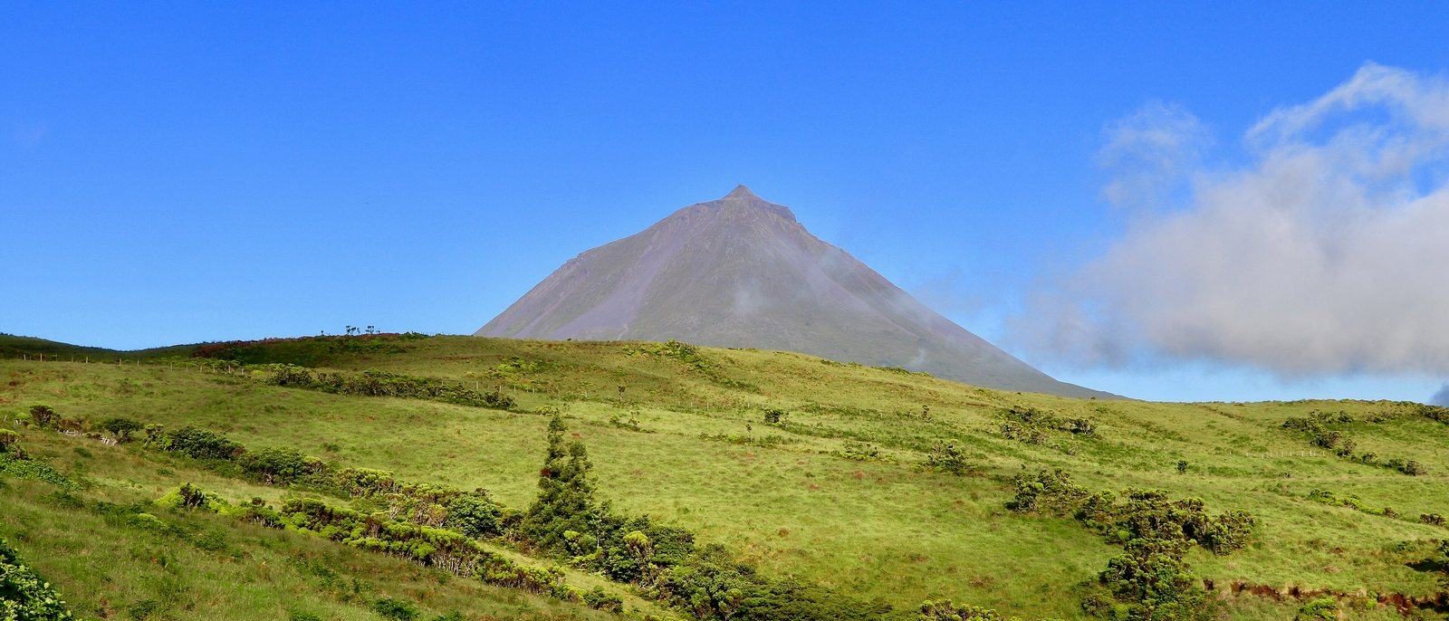
Photo: Pico. Photograph: Navin75, Pico Mountain, CC BY-SA 2.0, cropped
The volcano places include craters people live in and the shapes that older eruptions left behind. On Aogashima, an island administered by Tokyo, a village sits inside a double caldera. In Cabo Verde, Chã das Caldeiras was rebuilt on the lava that buried it. Kīlauea, on the Island of Hawaiʻi, grew a lake in its crater and then boiled it off in ninety minutes. Older volcanoes leave other forms: Crater Lake in Oregon fills the hollow left by the collapse of Mount Mazama about 7,700 years ago, and ships enter Deception Island's flooded centre through a narrow channel called Neptune's Bellows. On an island in the Azores, vines grow inside walls of black basalt.
Side by side
Six summits whose pages give a height, drawn to one vertical scale from sea level.
- 1Mount Fuji3,776 mthe highest mountain in Japan
- 2Pico do Fogo2,829 mChã das Caldeiras village c. 1,700 m
- 3Pico2,351 mhighest in Portugal
- 4Mount Bromo2,329 msand floor about 2,100 m
- 5Pico Cão Grande663 mabout 370 m above the forest
- 6Deception Island539 mhighest point; a flooded caldera
Heights as each place's page states them, drawn from sea level to one vertical scale; widths and shapes are not to scale.
Not drawn: their pages give no summit height
- Cirque de Mafate gives its ramparts, to c. 1,000 m
- Crater Lake gives a depth instead: 592 m (National Park Service)
- Aogashima · Fernandina · Tongariro · Kīlauea
All 12
 AogashimaTokyo Metropolis, Izu Islands
Source: Geospatial Information Authority of Japan, Attribution only licence (GSI Japan), cropped, resized
 FernandinaGalápagos, Ecuador
Photograph: Kjersti Holmang, Marineiguanas, CC BY-SA 3.0, cropped
 PicoAzores, Portugal
Photograph: Navin75, Pico Mountain, CC BY-SA 2.0
 Cirque de MafateRéunion National Park, Indian Ocean
Photograph: Air miasma, CC BY-SA 4.0, cropped
 Chã das CaldeirasFogo, Cabo Verde
Photograph: Yves PICQ, CC BY-SA 4.0
 TongariroCentral North Island
Photograph: Follash, CC BY-SA 4.0, cropped
 Deception IslandSouth Shetland Islands
Photograph: Murray Foubister, Excursion No. 12. into the old caldera of Deception Island., CC BY-SA 2.0
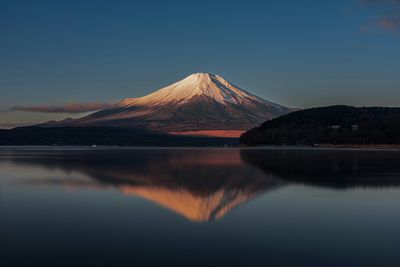 Mount FujiShizuoka and Yamanashi, Japan
Photograph: Steven Lynn via Unsplash, Unsplash licence
 KīlaueaHawaiʻi Volcanoes National Park, Island of Hawaiʻi, United States
Photograph: Janice Wei, NPS via Flickr, Public domain (PD-USGov, US National Park Service)
 Mount BromoEast Java, Indonesia
Photograph: Jakub Hałun, CC BY-SA 4.0, cropped
 Crater LakeKlamath County, Oregon, United States
Photograph: Trougnouf (Benoit Brummer), CC BY 4.0, cropped
 Pico Cão GrandeCaué District, São Tomé
Photograph: Paulacastelli, CC BY-SA 4.0
About this collection
Notes on sources. This Collection groups existing Field Guide entries; each entry carries its own sources. Written and fact-checked by SockMonkey.com. Last reviewed 29 September 2026.
About this hub
Nearby on the shelf
- Africa (region, 3 of these)
- Asia (region, 3 of these)
- Oceania & the Pacific (region, 2 of these)
- The whole map
Know somewhere that belongs here?
The summits use only heights stated on the places' own pages, at one scale. A place without a stated height is listed, not guessed. Each place page names its sources and the date it was checked.