Collection
Deserts
Dry country of many kinds, from dunes and salt lakes to stony plains, and what people and wildlife have made of it.
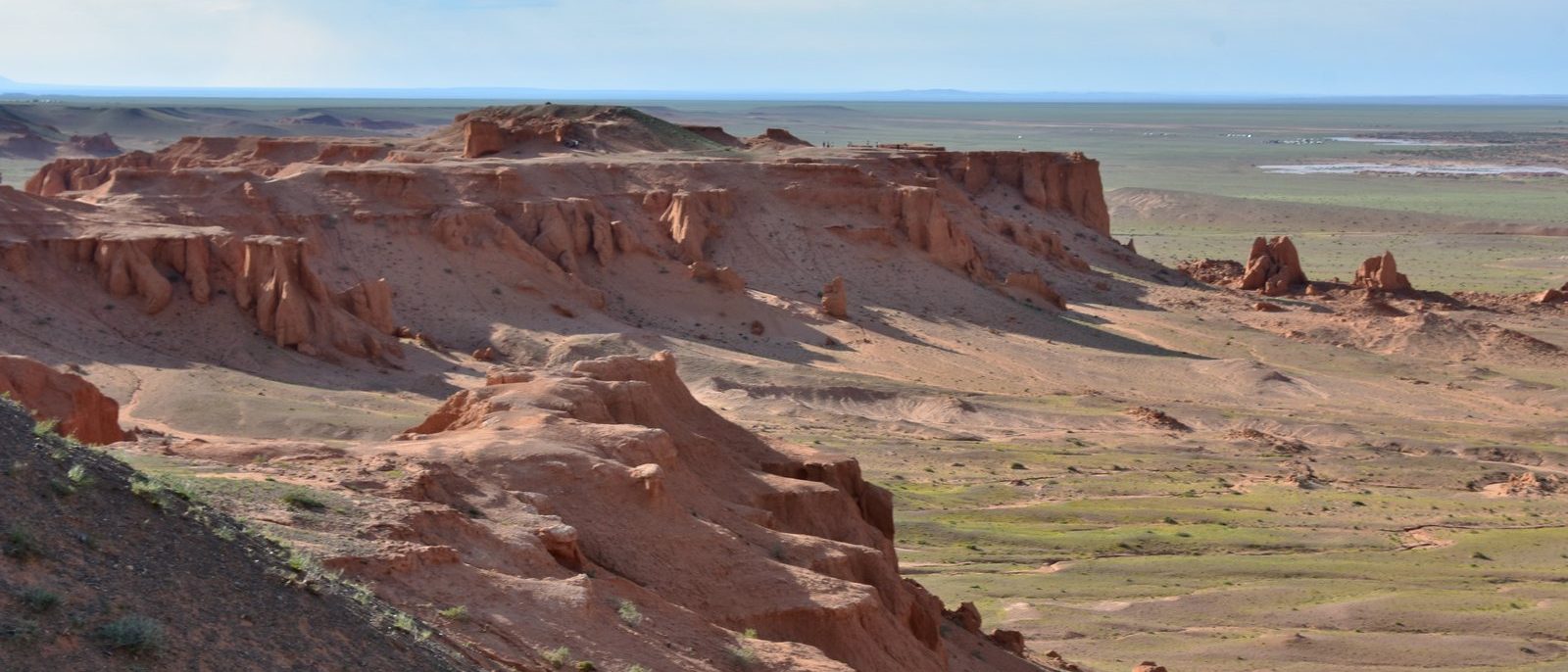
Photo: The Flaming Cliffs. Photograph: Richard Mortel, Bayanzag (Flaming Cliffs), Gobi Desert, Mongolia (29), CC BY 2.0, cropped
Desert here means dry country of many kinds: sand dunes in Namibia, Colorado and Arctic Alaska, salt flats and dry lake beds, stony plains and badlands. Salar de Uyuni is a salt flat on the high Altiplano of Bolivia, and the McMurdo Dry Valleys are an Antarctic desert where iron-rich brine runs red from under a glacier. People have made lives in some of them: around half of Coober Pedy's residents live in underground dugouts, and Moynaq, on the old south shore of the Aral Sea, is a fishing port with no sea. Dry ground also keeps fossils, at the Flaming Cliffs in Mongolia's Gobi and in an Argentine valley where some of the first dinosaurs were found.
Side by side
Twelve places whose pages give an area, each drawn as a square of that area, all at one scale.
- 1Atacama Desert105,000 km²about 128,000 km² with the barren lower slopes of the Andes
- 2Makgadikgadi Pans12,000 to 16,000 km²published figures for the whole complex
- 3Salar de Uyuni10,582 km²NASA's older figure is 8,000 km²
- 4Kati Thanda–Lake Eyre9,500 km²when full
- 5Nazca Lines reserve5,633.47 km²the archaeological reserve's restored 2004 boundary
- 6McMurdo Dry Valleys4,500 km²the largest ice-free region in Antarctica
- 7Richtersveld landscape160,000 hectaresthe Cultural and Botanical Landscape, in UNESCO's figure
- 8Ischigualasto60,370 hectaresWikipedia; San Juan's tourism body gives about 62,000
- 9Arches310 km²the national park
- 10Bisti/De-Na-Zin Wilderness45,000 acresof badlands
- 11Kobuk Valley30 square milesof sand in three dune fields; the Great Kobuk Sand Dunes alone 25
- 12Great Sand Dunes30 square milesthe dunefield
Areas as each place's page states them. Each square has the stated area, all at one scale; the squares are not the places' outlines. Hectares, acres and square miles are converted to km² only to draw them. A dashed square is the top of a stated range.
Not drawn: their pages give no area
All 20
 Coober PedySouth Australia
Photograph: Peter Myers via Flickr, The Strange Town of Coober Pedy, CC BY 2.0, cropped
 Sossusvlei & DeadvleiHardap Region, Namibia
Photograph: Giles Laurent, CC BY-SA 4.0
 The Flaming CliffsÖmnögovi Province, Mongolia
Photograph: Richard Mortel, Bayanzag (Flaming Cliffs), Gobi Desert, Mongolia (29), CC BY 2.0
 The Makgadikgadi PansKalahari Basin, Botswana
Photograph: Eric Kilby, CC BY-SA 4.0, cropped
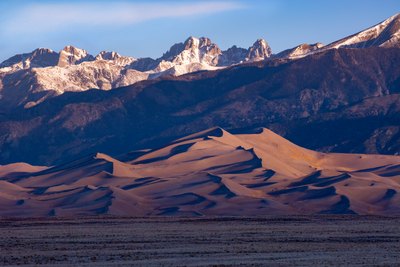 Great Sand DunesColorado
Photograph: Patrick Myers, NPS via NPGallery, Public domain (PD-USGov, US National Park Service)
 Kati Thanda–Lake EyreFar North, South Australia
Photograph: Stephan Ridgway, Lake Eyre North Panorama 2014, CC BY 2.0, cropped
 Salar de UyuniPotosí Department
Photograph: Karla Robinson via Unsplash, Unsplash licence
 The Nazca LinesIca Region
Photograph: Christian Haugen via Flickr, Nasca Lines - The monkey, CC BY 2.0
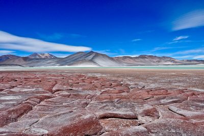 Atacama DesertNorthern Chile
 McMurdo Dry ValleysVictoria Land, Antarctica
Photograph: U.S. Department of State, Public domain
 ArchesUtah, United States
Photograph: Jacob W. Frank, National Park Service, Public domain
 MoynaqKarakalpakstan, Uzbekistan
Photograph: Arian Zwegers, Moynaq, Aral Sea, CC BY 2.0
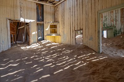 KolmanskopǁKaras Region, Namibia
Photograph: Ralf Hüsges, CC BY 4.0, cropped
 Bisti/De-Na-Zin WildernessSan Juan County, New Mexico, United States
Photograph: Bureau of Land Management (Bob Wick), Public domain (PD-USGov, Bureau of Land Management)
 IschigualastoValle Fértil Department, San Juan Province, Argentina
Photograph: Herrerajunior, CC BY-SA 4.0, cropped
 RichtersveldNorthern Cape, South Africa
Photograph: Javier Ábalos, Richtersveld National Park, CC BY-SA 2.0
 Kobuk ValleyNorthwest Arctic Borough, Alaska, United States
Photograph: NPS / Western Arctic National Parklands, The Southern Edge of the Dunes, CC BY 2.0
 Big Bend National ParkBrewster County, Far West Texas, United States
Photograph: Carol M. Highsmith, Public domain, cropped
 Joshua Tree National ParkRiverside and San Bernardino counties, California, United States
Photograph: NPS / Brad Sutton, Public domain
 Petrified Forest National ParkNavajo and Apache counties, Arizona, United States
About this collection
Notes on sources. This Collection groups existing Field Guide entries; each entry carries its own sources. Written and fact-checked by SockMonkey.com. Last reviewed 29 September 2026.
About this hub
Nearby on the shelf
- North America (region, 6 of these)
- Africa (region, 4 of these)
- Latin America & the Caribbean (region, 4 of these)
- The whole map
Know somewhere that belongs here?
The squares use only areas stated on the places' own pages, at one scale. A place without a stated area is listed, not guessed. Each place page names its sources and the date it was checked.