Collection
Waterfalls
Rivers at the point where they fall, and what the drop does to the land, the wildlife and the people around it.
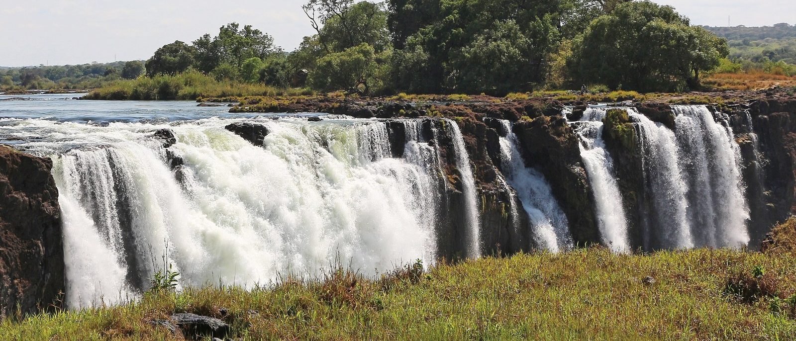
Photo: Victoria Falls. Photograph: Bernard Gagnon, CC BY-SA 4.0, cropped
The waterfalls here range from great river falls on international borders to cascades that build their own steps. Victoria Falls drops the Zambezi into a zigzag of gorges cut in basalt, on the border of Zambia and Zimbabwe, and Iguazú Falls lies on the border of Argentina and Brazil. At Niagara, a 1950 treaty between Canada and the United States sets the flow over the falls, higher by day from April to October. At Kuang Si in Laos, the water lays down the limestone steps it falls over, and a lake system in Croatia is held back by tufa barriers built by moss, algae and bacteria. At Brooks Falls in Alaska, bears gather each July to catch salmon leaping upstream.
Side by side
Eight falls whose pages give a height, drawn to one vertical scale from the foot of each fall.
- 1Gocta Falls771 min two drops (PromPerú); the lower drop about 540 m
- 2Kuang Si Falls140 mthe whole cascade; main drop 60 m
- 3Victoria Falls108 min the centre; 80 m at the western end; 1,708 m wide
- 4Virginia Falls96 mon the South Nahanni, in a single stage
- 5Iguazú Falls80 mat the Devil's Throat; a curve about 2.7 km long
- 6Horseshoe Falls57 mat Niagara (Wikipedia); the American Falls 21 to 30 m
- 7Ban Gioc Waterfall53 mVietnamPlus; Wikipedia gives the drop as 30 m
- 8Gullfoss32 mwhole height (Wikipedia); upper 11 m and lower 20 m (Environment Agency)
Heights as each place's page states them, drawn from the foot of each fall to one vertical scale; widths and shapes are not to scale. A dashed line marks a lower drop the page names.
Not drawn: their pages give no height for a fall
- Katmai & Brooks Falls gives its falls only as "a metre-and-a-half problem" for leaping salmon, too low to see at this scale
- Milford Sound / Piopiotahi names Lady Bowen Falls and Stirling Falls, but gives no height for either
- Plitvice Lakes · Yosemite
All 12
 Katmai & Brooks FallsAlaska
Photograph: Christoph Strässler from Oberdorf BL, Schweiz, Brown Bears at Brooks Falls, Katmai National Park, CC BY-SA 2.0, cropped
 NahanniNorthwest Territories
Photograph: Paul Gierszewski (Gierszep), Public domain, cropped
 Plitvice LakesLika-Senj and Karlovac counties, Croatia
Photograph: Tesla Delacroix, CC BY-SA 4.0
 Victoria FallsLivingstone (Zambia) and Victoria Falls (Zimbabwe)
Photograph: Christoph Strässler, Victoria Falls, Zimbabwe - 51641571756, CC BY-SA 2.0, cropped
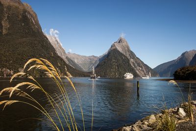 Milford Sound / PiopiotahiFiordland, Southland, New Zealand
Photograph: Szilas, Public domain
 Niagara FallsOntario, Canada and New York, United States
Photograph: Maksim Sokolov, CC BY-SA 4.0
 Iguazú FallsMisiones (Argentina) and Paraná (Brazil)
Photograph: Falk2, CC BY-SA 4.0
 Kuang Si FallsLuang Prabang Province, Laos
Photograph: Basile Morin, CC BY-SA 4.0
 Gocta FallsAmazonas Region, Peru
Photograph: Draceane, CC BY-SA 4.0, cropped
 YosemiteCalifornia, United States
Photograph: Aram via Unsplash, Unsplash licence
 GullfossSouthern Region, Iceland
Photograph: Jakub Hałun, CC BY-SA 4.0
 Ban Gioc WaterfallCao Bằng province, Vietnam
Photograph: Rod Waddington, Ban Gioc Falls, CC BY-SA 2.0, cropped
About this collection
Notes on sources. This Collection groups existing Field Guide entries; each entry carries its own sources. Written and fact-checked by SockMonkey.com. Last reviewed 29 September 2026.
About this hub
Nearby on the shelf
- North America (region, 4 of these)
- Asia (region, 2 of these)
- Europe & the North Atlantic (region, 2 of these)
- The whole map
Know somewhere that belongs here?
The falls use only heights stated on the places' own pages, at one scale. A place without a stated height is listed, not guessed. Each place page names its sources and the date it was checked.